Who We Are
About us
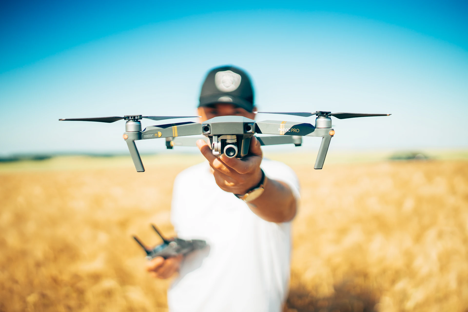
SkyHawk Aerial Survey is a professional surveying and mapping company with over 10 years of proven expertise in the industry. Our journey began from the ground up – mastering traditional survey methods like Total Station and DGPS – and has evolved into delivering cutting-edge drone-based aerial surveys that redefine speed, accuracy, and efficiency.
We are best in the industry because of our ability to blend experience, innovation, and compliance. Our operations are conducted with DGCA-certified drones and licensed pilots, strictly adhering to GOI guidelines to ensure regulatory acceptance and trusted results. We offer Property Survey including Land, Farm, Mines, Forest, Bridges, Solar, Wind, Road and all Infra Projects.
Industries We Serve
Over the years, we have successfully delivered survey solutions across diverse sectors. Our end-to-end capabilities – from aerial data acquisition to processing, analysis, and final reporting – provide clients with ready-to-use insights for decision-making. Whether it’s contouring, triangulation, volumetric analysis, 3D terrain models, or orthomosaic mapping, SkyHawk Aerial Survey ensures precision, safety, and cost-effectiveness in every project.
Mining
Highways
Railways
Forest
Smart Cities
Agriculture
Solar Farm
Wind Park
Canals
Pipelines
Archaeological
Industrial
Our Vision
Innovation Through Technology
By adopting the latest in drone, GIS, and mapping technologies, we aim to transform traditional surveying into faster, smarter, and more efficient solutions.
Accuracy That Builds Trust
We strive to deliver centimeter-level precision in every survey, ensuring our clients receive reliable data for critical decision-making.
Compliance & Responsibility
By adopting the latest in drone, GIS, and mapping technologies, we aim to transform traditional surveying into faster, smarter, and more efficient solutions.
Sustainable Growth & Impact
Our vision is to support mining, infrastructure, agriculture, urban development, and renewable projects with data that drives sustainable growth and smart planning.


