
Highways/Roads Survey
Overview
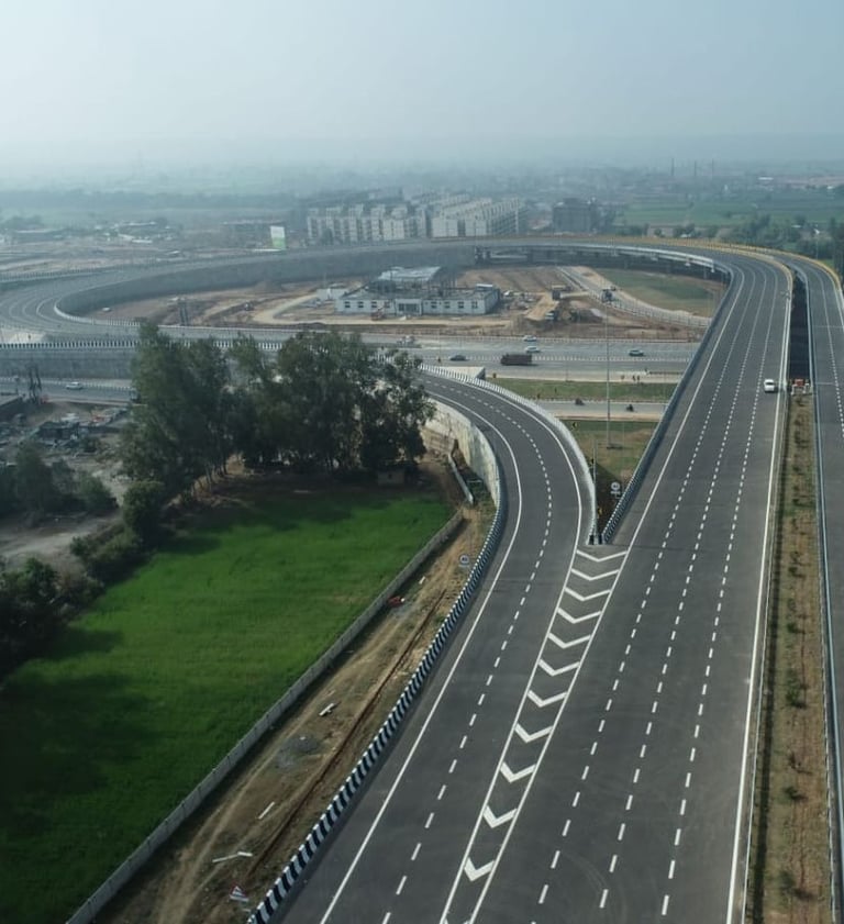
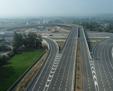
Highway and road projects demand speed, accuracy, and reliable data at every stage – from route planning, routine maintenance, encroachment, Permission, Query Checking, Green Field Highway Alignment, Blackspot Removal or construction and maintenance. At SkyHawk Aerial Survey, we bring over 10 years of survey experience to deliver drone-based highway survey solutions that are faster, safer, and more cost-effective than traditional methods. Our expertise helps engineers, contractors, and government agencies make informed decisions with precise geospatial data.
Our Highway Survey Solutions
🔹 Route & Corridor Mapping
Drone mapping for alignment studies, widening, bypass, and greenfield road projects.
🔹 Topographic & Contour Mapping
High-accuracy elevation maps to support earthwork design, drainage, and slope stability.
🔹 DSM & DTM Models
Surface and terrain models for cut-fill analysis, embankment design, and geotechnical planning.
🔹 Orthomosaic Maps
Georeferenced 2D aerial maps for ROW surveys, land acquisition, and design overlays.
🔹 Progress Monitoring
Regular drone surveys to track construction, pavement layers, bridges, and culverts.
🔹 Material Volume Calculation
Precise measurement of soil, borrow pits, and construction stockpiles.
🔹 Bridge & Structure Inspection
Aerial inspections of flyovers, culverts, and structures for safety and maintenance.
Why Choose Us for Highway Surveys?
✔ Faster surveys covering long corridors in less time
✔ Centimeter-level accuracy trusted for design & execution
✔ Safe operations without disrupting traffic or work sites
✔ Complete deliverables – maps, models, analysis, reports
✔ Proven expertise in highways, expressways, and urban roads
Applications in Highway Projects
Feasibility studies & DPR surveys
Alignment & land acquisition planning
Earthwork & cut-fill analysis
Construction progress & quality checks
Pavement & bridge inspection
Maintenance & rehabilitation projects
Get in touch
Contacts
+91-73504-90071
+91-96607-14080
Mail Us
skyhawksurvey@gmail.com
Head Office
56, Nakoda Nagar,
H.M. Sec.-3, Udaipur,
Rajasthan, INDIA.-313001