Smart City Survey
Overview
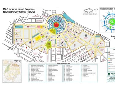
Smart Cities require accurate geospatial data to support urban planning, infrastructure development, and sustainable growth. At SkyHawk Aerial Survey, we combine 10+ years of survey experience with DGCA-certified drone technology to deliver high-resolution maps and models that help governments, planners, and developers build smarter, more efficient cities.
Smart City Survey Solutions
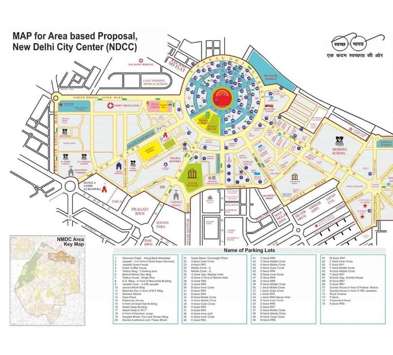
🔹 Urban Mapping & Master Planning
Drone-based mapping for city layouts, zoning, and smart urban design.
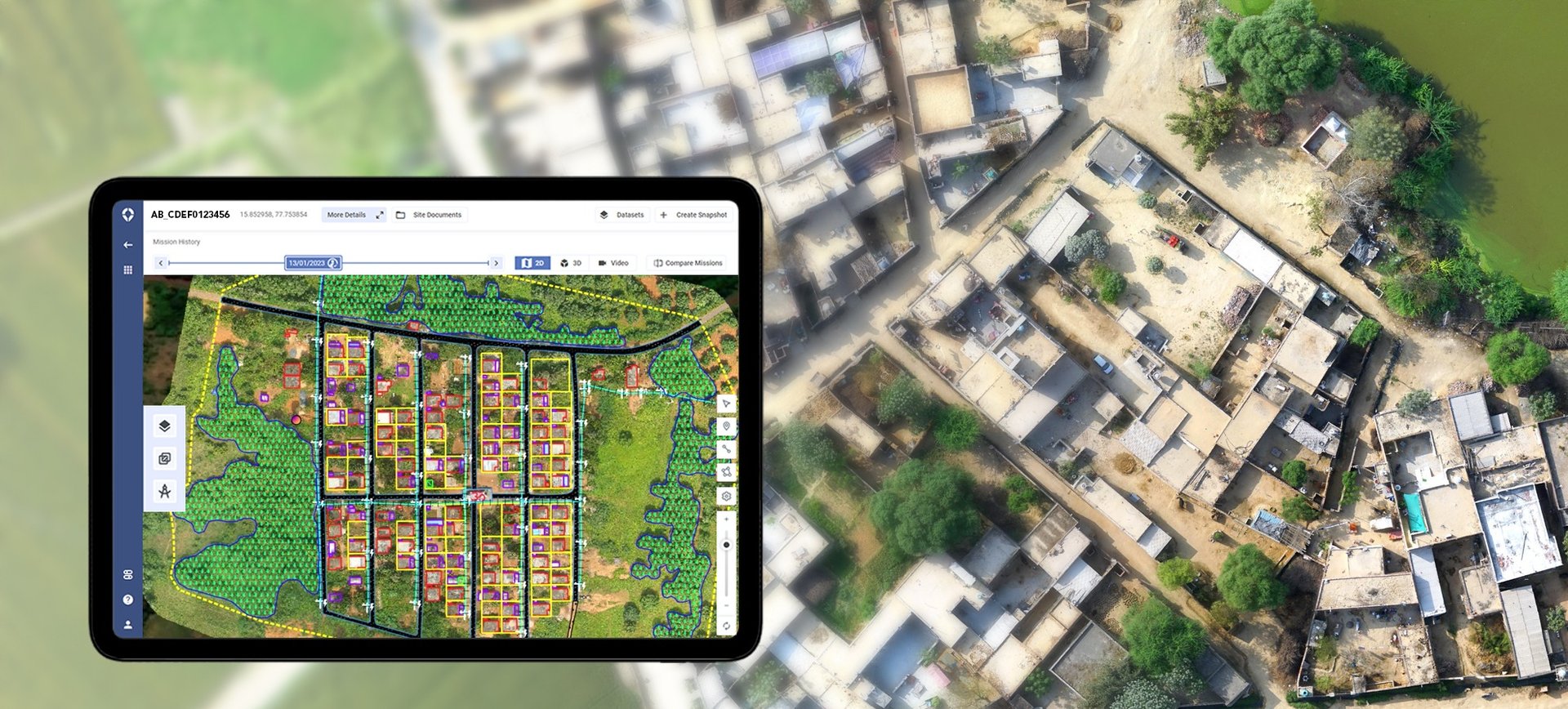
🔹 Property & Land Parcel Mapping (SVAMITVA Yojana)
Drone surveys for digital land records, property ownership mapping, and revenue department compliance.
🔹 3D City Models & Digital Twins
Interactive models for infrastructure visualization, planning, and simulations.
🔹 Infrastructure Monitoring
Surveys for roads, utilities, bridges, public facilities, and redevelopment projects.
🔹 Change Detection & Progress Tracking
Monitoring urban growth, smart city projects, and construction progress.
🔹 Environmental & Green Zone Mapping
Mapping of parks, water bodies, and green belts for sustainable city planning.
Why Choose Us for Smart City Surveys?
✔ Expertise in government land & smart city programs
✔ GIS-ready deliverables for city planning and e-governance
✔ Fast & cost-effective coverage of urban and semi-urban areas
✔ Centimeter-level precision for property and infrastructure data
✔ Trusted by industries & government projects
Applications in Smart Cities & Governance
PM SVAMITVA Yojana – Property and land ownership mapping
Smart City Mission Projects – Urban zoning, utilities, planning
Land-use & land-cover classification
Redevelopment & infrastructure monitoring
Green cover & water body mapping
Disaster management & emergency planning
Get in touch
Contacts
+91-73504-90071
+91-96607-14080
Mail Us
skyhawksurvey@gmail.com
Head Office
56, Nakoda Nagar,
H.M. Sec.-3, Udaipur,
Rajasthan, INDIA.-313001