
Forest Survey
Overview
Forests are critical for ecology, climate balance, and biodiversity. Managing them requires accurate data, continuous monitoring, and compliance with environmental norms, Survey for NOC from PCCF. At SkyHawk Aerial Survey, we use DGCA-certified drone technology to deliver high-resolution mapping and analysis of forest areas. With years of survey experience, we provide actionable insights for forest departments, environmental agencies, and conservation projects.
Our Forest Survey Solutions
🔹 Forest Mapping & Area Assessment
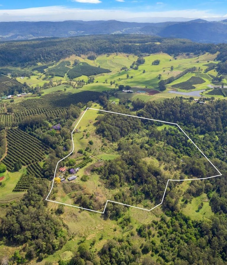
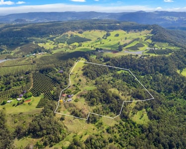
Drone-based mapping for forest boundaries, canopy coverage, and encroachment detection.
🔹 Vegetation & Tree Count Analysis
High-resolution imagery and GIS processing for tree health, density, and species estimation.
🔹 Change Detection & Monitoring
Tracking deforestation, afforestation, and land-use changes over time.
🔹 Topographic & Contour Mapping
Elevation and terrain models for watershed planning, soil conservation, and fire management.
🔹 Wildlife Habitat Surveys
Drone mapping to identify habitat zones, migration corridors, and conservation areas.
🔹 Orthomosaic & 3D Models
Detailed maps and 3D visualizations for planning, reporting, and research studies.
🔹 Thermal & Infrared Monitoring
Detecting forest fires, wildlife movement, and water stress zones.
Why Choose Us for Forest Surveys?
✔ Non-intrusive & eco-friendly method of data collection
✔ High-resolution insights for biodiversity and land-use management
✔ Fast coverage of large areas compared to ground surveys
✔ End-to-end deliverables (maps, reports, GIS-ready data)
✔ Expertise in environmental & ecological projects
Applications in Forest Management
Encroachment detection & boundary mapping
Tree census & canopy density analysis
Deforestation & afforestation monitoring
Forest fire risk & damage assessment
Wildlife corridor & habitat mapping
Watershed & soil conservation studies
Get in touch
Contacts
+91-73504-90071
+91-96607-14080
Mail Us
skyhawksurvey@gmail.com
Head Office
56, Nakoda Nagar,
H.M. Sec.-3, Udaipur,
Rajasthan, INDIA.-313001