Solar/Wind Park Survey
Overview
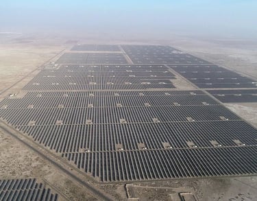
Efficient renewable energy projects depend on precise data and regular monitoring. Our drone-based aerial surveys, including thermal inspections, provide actionable insights to improve performance, safety, and reliability. Harnessing renewable energy requires precise planning, monitoring, and maintenance. Our Drone survey is Useful for land acquisition and boundary marking, or visual survey of Wind Meal or Wind turbine. Our drone-based aerial surveys provide high-resolution insights that optimize project efficiency and ensure long-term sustainability.
Solar & Wind Park Aerial Survey
🔹 For Solar Parks
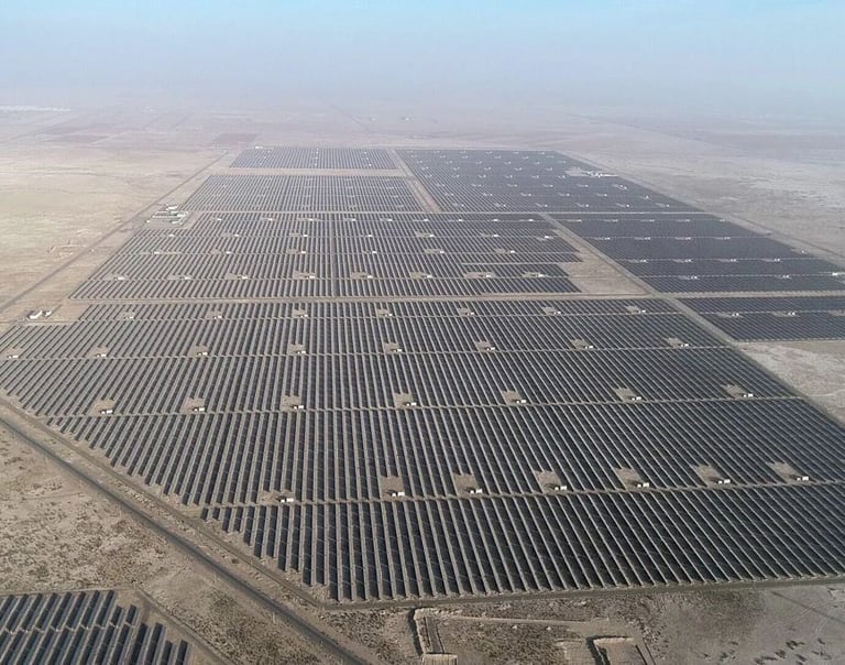
Site Selection & Topographic Mapping – Identify suitable land with accurate terrain data.
Design Optimization – Contour mapping for efficient panel alignment & layout.
Construction Monitoring – Track installation progress with orthomosaic maps.
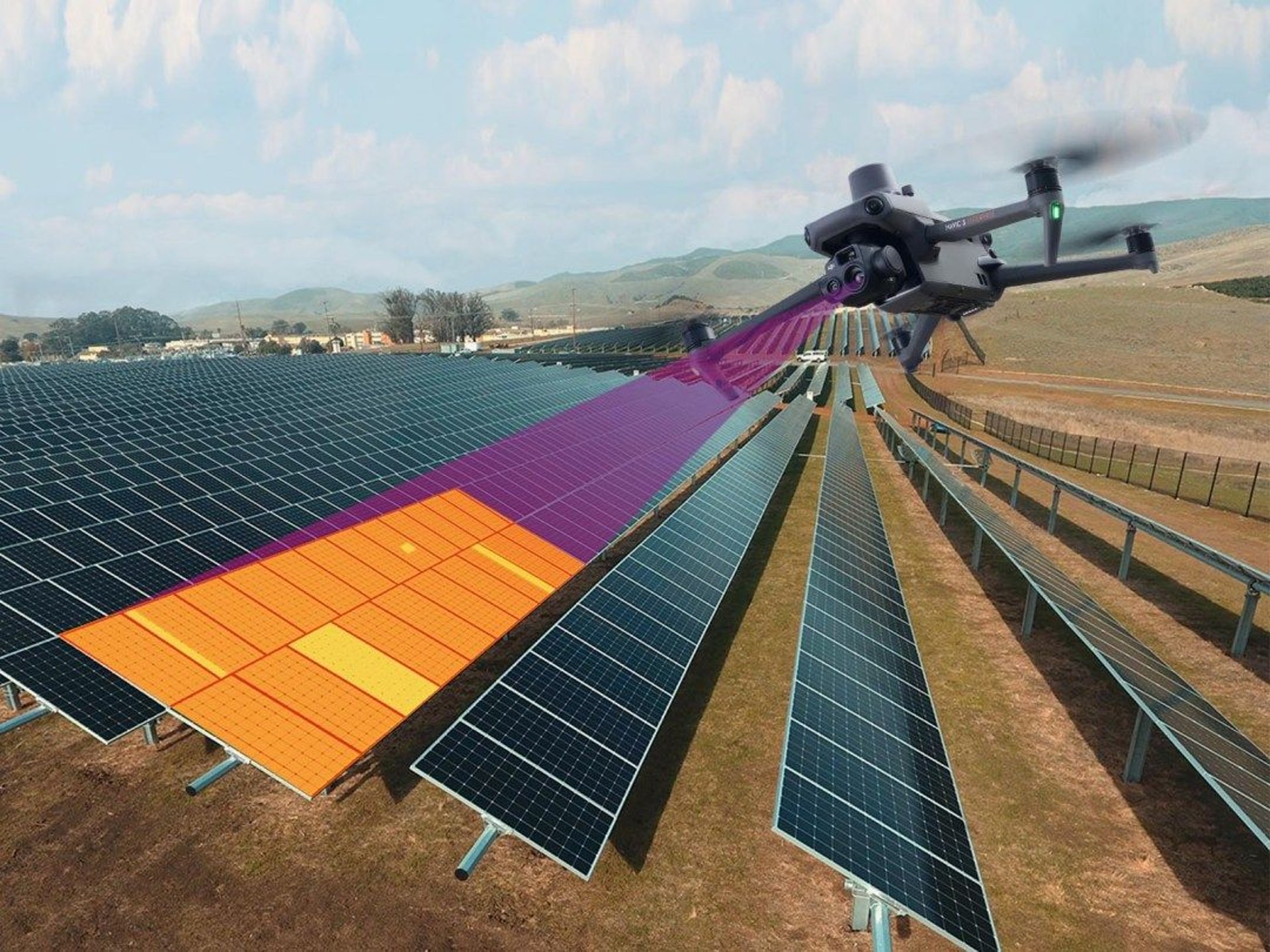
Thermal Inspection – Detect hotspots, damaged modules, or faulty connections.
O&M Support – Regular drone inspections to maximize power output.
🔹 For Wind Parks
Land Survey & 3D Terrain Models – Assess topography for turbine placement.
Access Road & Foundation Planning – Ensure efficient logistics and infrastructure.
Progress Monitoring – Keep stakeholders updated with aerial documentation.
Structural Inspections – Drone-based checks of towers, blades, and nacelles.
Environmental Compliance – Survey surrounding land/forest areas for regulatory approvals.


Why Choose Us?
Centimeter-level accuracy in mapping & terrain models.
Thermal-enabled drones for early fault detection in solar panels & wind turbines.
Safer & faster surveys compared to manual inspections.
End-to-end solutions from feasibility to operations.
Experience across solar parks, wind farms, highways, mining, and smart cities
Get in touch
Contacts
+91-73504-90071
+91-96607-14080
Mail Us
skyhawksurvey@gmail.com
Head Office
56, Nakoda Nagar,
H.M. Sec.-3, Udaipur,
Rajasthan, INDIA.-313001