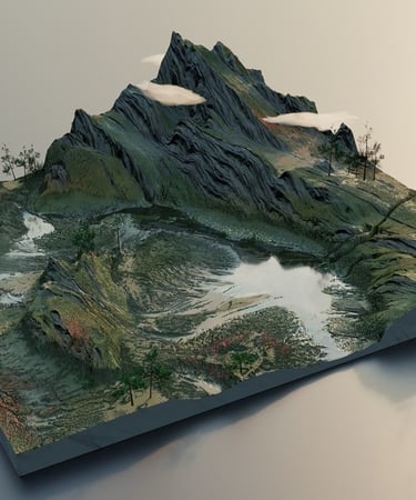
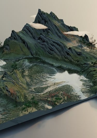
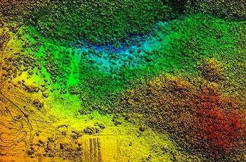
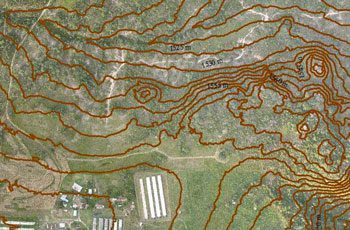
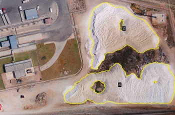
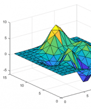
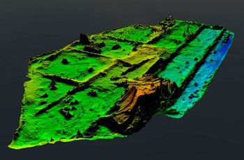
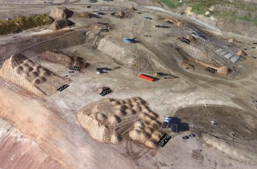
Precision Drone Surveys

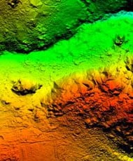
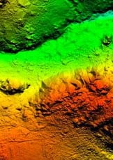
ACCURACY
SAFE & SECURE


Mandatory by Government
TIME-SAVING
Why Drone Survey..?

DGCA Certified
Expertise in Survey


End-to-End Solutions
IBM Compliant SOP
Why Us..?


We are Best in Industry
At SkyHawk Aerial Survey, we are best in the industry for providing end-to-end solutions – from data capture to detailed analysis. Our expertise, reliable reporting, and commitment to accuracy make us the preferred partner for construction, land, and mining surveys.
Frequently asked questions
What areas do you cover for drone surveys in India?
We provide drone survey services across all over India. Major cities and rural areas in Rajasthan, including Udaipur, Jaipur, Jodhpur, and surrounding regions.
What types of projects can benefit from your drone surveys?
Our drone surveys are ideal for land surveys, mine surveys, canal surveys, solar and wind park surveys, pipeline mapping, and urban planning projects.
How much does it cost?
Our pricing varies depending on Area and Location. We offer a variety of options to fit your needs and budget. Please contact us for more information.
How accurate are your drone survey results?
We use high-resolution drones and advanced GPS/GIS technology to deliver highly precise and reliable data suitable for engineering and planning purposes.
How long does a typical drone survey take?
Survey duration depends on project size and complexity. Most small to medium projects can be completed within a day, while larger projects may take a few days.
Can I use the survey data for legal or government approvals?
Yes. Our survey data is accurate, georeferenced, and suitable for official documentation, regulatory submissions, and project approvals.
Our Clients


Get in touch
Contacts
+91-73504-90071
+91-96607-14080
Mail Us
skyhawksurvey@gmail.com
Head Office
56, Nakoda Nagar,
H.M. Sec.-3, Udaipur,
Rajasthan, INDIA.-313001